Maps


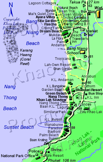
We were at the southern end of Khao Lak. You can not tell from the picture, but there
was a steep hill about 100 meters or so behind us, so after we were able to get out of our
bungalow, at least we had somewhere to hobble to. the main strip north of us was almost all flat,
and you would have had to run quite a way to be able to get to the road and higher ground.

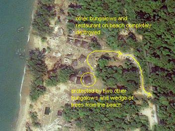
Satellite picture of our resort post-tsunami. we were in the third bungalow
from the left just below the middle of the picture. the only way we survived was
being blocked by two other concrete bungalows, and a wedge of trees between us
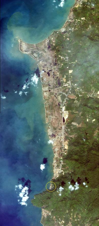
and the beach. arrows mark exit route up the hill to the road. [full satellite image]
